Welcome to North Creake
CLICK FOR 2021 CENSUS DATAIntroduction
North Creake is a village and civil parish in the north west of the English county of Norfolk. It covers an area of 14.99 km2 (5.79 sq mi) and had a population of 414 in 184 households at the 2001 census, reducing to 386 at the 2011 Census. For the purposes of local government, it falls within the district of King's Lynn and West Norfolk. The parish shares boundaries with the adjacent parishes of Burnham Market, Burnham Thorpe, Holkham, Walsingham, South Creake, Barwick and Stanhoe. The village lies 3 miles (4.8 km) south of Burnham Market and about 5 miles (8.0 km) from the north Norfolk coast. 1 mile (1.6 km) further south is the twin village of South Creake.The village lies on the River Burn, which flows through the centre of the village. 1 mile (1.6 km) to the north of the village along the river lies the ruined Creake Abbey. The village itself musters a church, a public house and a post office. Most of the agricultural land surrounding the village, and many of the village houses, today belong to the estate of the Earl Spencer, who consequently has significant influence on village matters, although his family seat is many miles away in Althorp, Northamptonshire. On 27 April 1944, a de Havilland Mosquito fighter bomber on a night training exercise crashed in the centre of the village, killing the crew of two. On the 60th anniversary of the crash in 2004, a plaque on the approximate location of the crash was unveiled by a Royal Air Force guard of honour and other dignitaries, including relatives and friends of those killed. The village was struck by an F1/T3 tornado on 23 November 1981, as part of the record-breaking nationwide tornado outbreak on that day.The derivation of the name "Creake" is apparently from the Celtic word "creic" meaning a rock. South Creake is recorded in the Domesday Book of 1086 as "Suthcreich".
Parish Information
Parish statistics
Area |
1,499 hectares |
|---|---|
Population |
325 (2021) |
Density |
22 people/km2 |
Mean age |
46.2 |
Ward |
Bircham with Rudhams |
District |
King's Lynn and West Norfolk |
Postcodes |
NR21 |
ONS ID |
E04006334 |
Council
Contact details for North Creake Parish Council, including current councillors, precept data and election results.
Education
View educational establishments in North Creake Parish. Data includes OFSTED rating and current appointed governors.
Business
Business directory listing local businesses operating within North Creake Parish.
Planning
View recent planning applications submitted for North Creake Parish.
Property
Price paid data for all property sold in North Creake Parish since 2018. Includes average prices for each property type.
Heritage
Local heritage sites, historic churches, heritage pubs plus local heritage initiatives for North Creake Parish.
Local News

Hosted and licensed by Eastern Daily Press
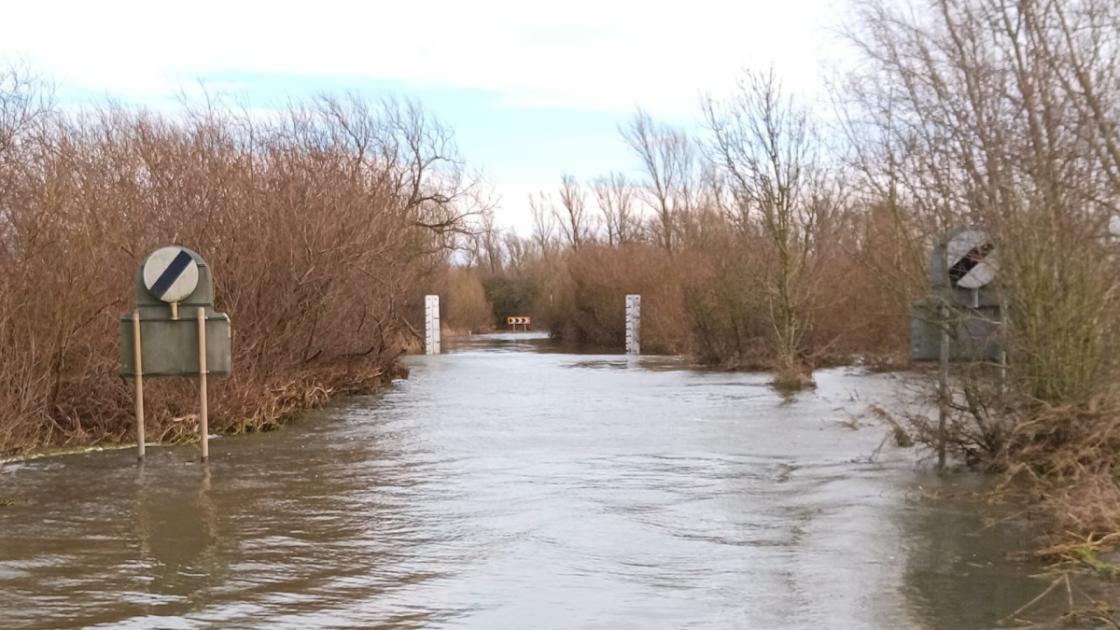
Flood warning and alerts issued for north and west Norfolk
Published: 6th Mar 2024

Hosted and licensed by Lynn News
Plans for additional fire station approved and popularity of swim club booms: Memories from March 1994 and 2010
Published: 10th Mar 2024

Hosted and licensed by Eastern Daily Press
5 free Norfolk events over the August bank holiday 2023
Published: 5th Aug 2023